Path to Hawthornhill
Introduction
The photograph on this page of Path to Hawthornhill by Lairich Rig as part of the Geograph project.
The Geograph project started in 2005 with the aim of publishing, organising and preserving representative images for every square kilometre of Great Britain, Ireland and the Isle of Man.

There are currently over 7.5m images from over 14,400 individuals and you can help contribute to the project by visiting https://www.geograph.org.uk
Path to Hawthornhill
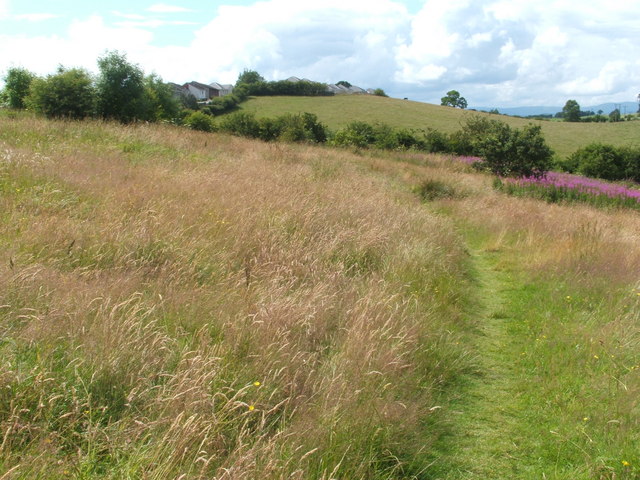
Image: © Lairich Rig Taken: 15 Jul 2009
From the gate that is shown in Image, the core path leads up the grassy slope shown here, to meet the north-western end of a road, Cumbrae Crescent South, in Hawthornhill (the other end of that road is in Castlehill: Image). The core path follows the road southwards for just 50 metres, to a corner. It then makes a brief diversion to the west, and then to the south, to arrive at the eastern end of Image From Maple Avenue, the route follows Image for a short distance, to arrive at the top of a path that is bounded between two hedges, and which is shown in Image The core path then follows that hedge-lined route downhill, and as indicated at the last-cited link, ends beside Cardross Road.
Images are licensed for reuse under creativecommons.org/licenses/by-sa/2.0
Image Location
Latitude
55.952155
Longitude
-4.600285