Malpas Brook downstream, Bettws, Newport
Introduction
The photograph on this page of Malpas Brook downstream, Bettws, Newport by Jaggery as part of the Geograph project.
The Geograph project started in 2005 with the aim of publishing, organising and preserving representative images for every square kilometre of Great Britain, Ireland and the Isle of Man.

There are currently over 7.5m images from over 14,400 individuals and you can help contribute to the project by visiting https://www.geograph.org.uk
Malpas Brook downstream, Bettws, Newport
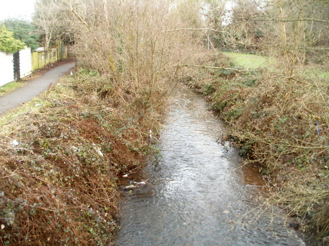
Image: © Jaggery Taken: 6 Jan 2011
Although still in the Bettws area of Newport, the brook has been renamed from Bettws Brook to Malpas Brook, according to several maps I've consulted. Viewed from a footbridge on the edge of an open space on the south side of Monnow Way.
Images are licensed for reuse under creativecommons.org/licenses/by-sa/2.0
Image Location
Latitude
51.609774
Longitude
-3.022378