Road Junction near Capel Garmon
Introduction
The photograph on this page of Road Junction near Capel Garmon by Terry Hughes as part of the Geograph project.
The Geograph project started in 2005 with the aim of publishing, organising and preserving representative images for every square kilometre of Great Britain, Ireland and the Isle of Man.

There are currently over 7.5m images from over 14,400 individuals and you can help contribute to the project by visiting https://www.geograph.org.uk
Road Junction near Capel Garmon
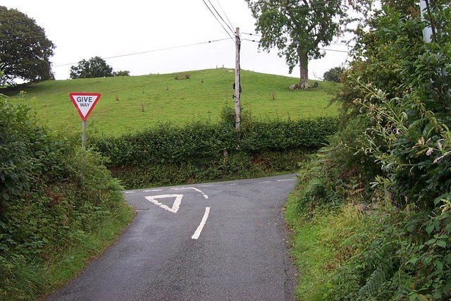
Image: © Terry Hughes Taken: 20 Aug 2006
This minor road junction is just North of Capel Garmon at grid reference SH 81360 55818
Images are licensed for reuse under creativecommons.org/licenses/by-sa/2.0
Image Location


Leaflet Map data © OpenStreetMap
Latitude
53.086354
Longitude
-3.772849