Road junction at Royds Green
Introduction
The photograph on this page of Road junction at Royds Green by Christine Johnstone as part of the Geograph project.
The Geograph project started in 2005 with the aim of publishing, organising and preserving representative images for every square kilometre of Great Britain, Ireland and the Isle of Man.

There are currently over 7.5m images from over 14,400 individuals and you can help contribute to the project by visiting https://www.geograph.org.uk
Road junction at Royds Green
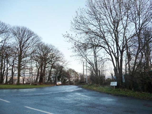
Image: © Christine Johnstone Taken: 5 Jan 2011
Sanderson Lane meets Pennington Lane, which has itself morphed out of Royds Lane.
Images are licensed for reuse under creativecommons.org/licenses/by-sa/2.0
Image Location
Latitude
53.735847
Longitude
-1.463318