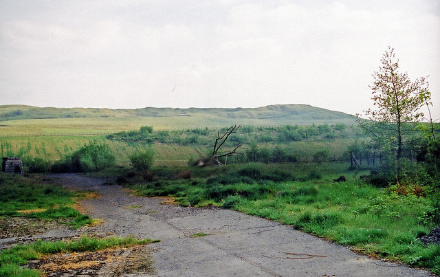
Site of the former Ivor Iron Works, Dowlais (Year 2000)
Introduction
The photograph on this page of Site of the former Ivor Iron Works, Dowlais (Year 2000) by Ben Brooksbank (Geograph member) as part of the Geograph project.
The Geograph project started in 2005 with the aim of publishing, organising and preserving representative images for every square kilometre of Great Britain, Ireland and the Isle of Man.
There are currently over 7.5m images from over 14,400 individuals and you can help contribute to the project by visiting https://www.geograph.org.uk

Image: © Ben Brooksbank (Geograph member) Taken: Unknown
Photographer Ben Brooksbank's Profile: http://www.geograph.org.uk/profile/44502 The works closed in 1987 (demolished 1988). This photo was taken someplace on the site close to the Bruce Hotel on Victoria Street. See http://www.geograph.org.uk/photo/2220537. The skyline is Merthyr Common, and you can also see a narrow shelter belt lying alongside the A4060 dual carriageway (Merthyr Eastern bypass). Much of the view takes in reclaimed land, as it would have formerly been dominated by an enormous slagheap that was nicknamed "Whitey" by the locals. Certainly when I first saw it, circa 1968, it looked a bit like a snow-covered mountain. The following excellent historical site is a must if you have any interest in the Welsh 'Mountains of the Moon': http://www.alangeorge.co.uk/old_merthyr.htm http://www.alangeorge.co.uk/dowlais.htm http://www.alangeorge.co.uk/iforworks.htm

