The Street, Great Chart
Introduction
The photograph on this page of The Street, Great Chart by Dave Skinner as part of the Geograph project.
The Geograph project started in 2005 with the aim of publishing, organising and preserving representative images for every square kilometre of Great Britain, Ireland and the Isle of Man.

There are currently over 7.5m images from over 14,400 individuals and you can help contribute to the project by visiting https://www.geograph.org.uk
The Street, Great Chart
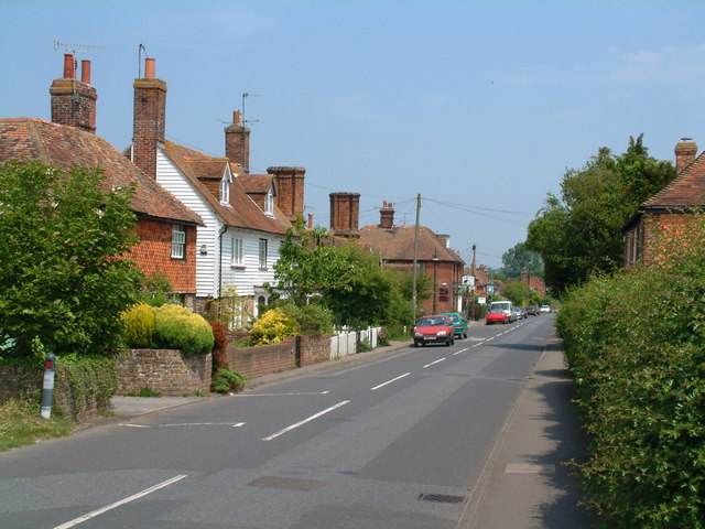
Image: © Dave Skinner Taken: 30 May 2003
Typical Kentish Village main street showing tile clad and wooden boarded houses. This picture needs to be compared to the Francis Frith photo of 1905 as it really shows how little it has changed in 100 years http://www.francisfrith.com/search/england/kent/great+chart/photos/great+chart_60337.htm
Images are licensed for reuse under creativecommons.org/licenses/by-sa/2.0
Image Location


Leaflet Map data © OpenStreetMap
Latitude
51.142981
Longitude
0.830654