Pit Field
Introduction
The photograph on this page of Pit Field by Simon Carey as part of the Geograph project.
The Geograph project started in 2005 with the aim of publishing, organising and preserving representative images for every square kilometre of Great Britain, Ireland and the Isle of Man.

There are currently over 7.5m images from over 14,400 individuals and you can help contribute to the project by visiting https://www.geograph.org.uk
Pit Field
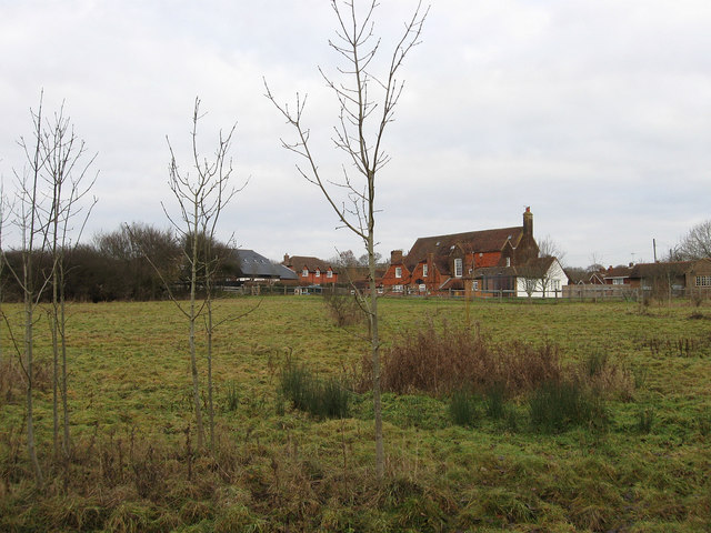
Image: © Simon Carey Taken: 2 Jan 2011
The name of the field according to the 1838 tithe map. Beyond is the rear view of Swan House a former inn that was plying its trade as early as 1606. on the old medieval road from Lewes to London at the southern edge of the former South Common.
Images are licensed for reuse under creativecommons.org/licenses/by-sa/2.0
Image Location
Latitude
50.935465
Longitude
-0.019762