Bridleway to Betteshanger
Introduction
The photograph on this page of Bridleway to Betteshanger by David Anstiss as part of the Geograph project.
The Geograph project started in 2005 with the aim of publishing, organising and preserving representative images for every square kilometre of Great Britain, Ireland and the Isle of Man.

There are currently over 7.5m images from over 14,400 individuals and you can help contribute to the project by visiting https://www.geograph.org.uk
Bridleway to Betteshanger
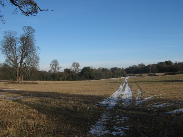
Image: © David Anstiss Taken: 26 Dec 2010
A track leads from Tilmanstone, over the A256 Dover Road (dual carriageway) then through Lower Longlands Wood and then towards Northbourne Park School.
Images are licensed for reuse under creativecommons.org/licenses/by-sa/2.0
Image Location
Latitude
51.22285
Longitude
1.307097