Lane to Rookby
Introduction
The photograph on this page of Lane to Rookby by Stephen McKay as part of the Geograph project.
The Geograph project started in 2005 with the aim of publishing, organising and preserving representative images for every square kilometre of Great Britain, Ireland and the Isle of Man.

There are currently over 7.5m images from over 14,400 individuals and you can help contribute to the project by visiting https://www.geograph.org.uk
Lane to Rookby
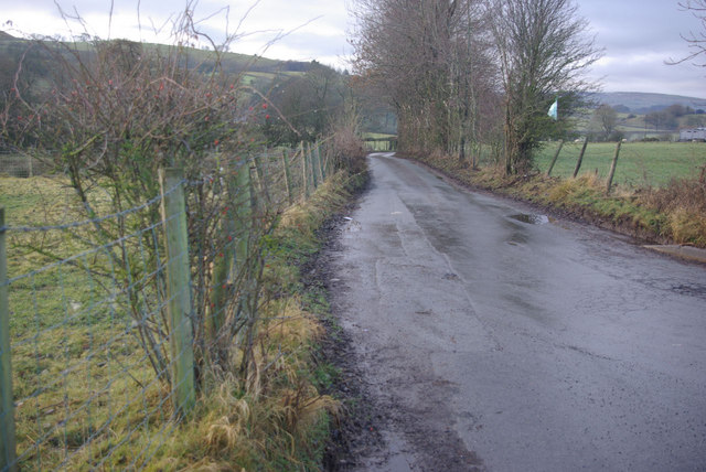
Image: © Stephen McKay Taken: 29 Dec 2010
Seen from the Kaber - Barras road. Thanks to the post-Christmas thaw there is now virtually no snow in sight but only a couple of days previously this lane had been barely passable.
Images are licensed for reuse under creativecommons.org/licenses/by-sa/2.0
Image Location


Leaflet Map data © OpenStreetMap
Latitude
54.495923
Longitude
-2.305202