Stockbridge - The Test Way Footpath
Introduction
The photograph on this page of Stockbridge - The Test Way Footpath by Chris Talbot as part of the Geograph project.
The Geograph project started in 2005 with the aim of publishing, organising and preserving representative images for every square kilometre of Great Britain, Ireland and the Isle of Man.

There are currently over 7.5m images from over 14,400 individuals and you can help contribute to the project by visiting https://www.geograph.org.uk
Stockbridge - The Test Way Footpath
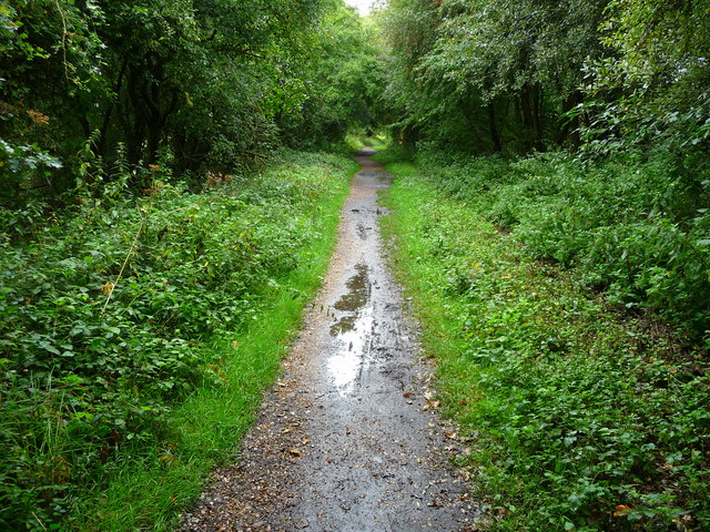
Image: © Chris Talbot Taken: 8 Sep 2010
The Test Way is a 44 mile long-distance walking route that takes you from its start, high on the chalk downs at Inkpen, and it follows much of the course of the River Test to Eling where its tidal waters flow into Southampton Water. These pictures follow part of route from Houghton to Stockbridge.
Images are licensed for reuse under creativecommons.org/licenses/by-sa/2.0
Image Location


Leaflet Map data © OpenStreetMap
Latitude
51.102415
Longitude
-1.495785