Dry-stone wall
Introduction
The photograph on this page of Dry-stone wall by Lairich Rig as part of the Geograph project.
The Geograph project started in 2005 with the aim of publishing, organising and preserving representative images for every square kilometre of Great Britain, Ireland and the Isle of Man.

There are currently over 7.5m images from over 14,400 individuals and you can help contribute to the project by visiting https://www.geograph.org.uk
Dry-stone wall
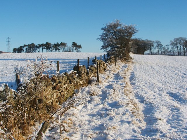
Image: © Lairich Rig Taken: 23 Dec 2010
This is a view from the field gate that is visible ahead in Image; the view direction for both photographs is the same. These fields are associated with High Milndovan Farm (for which, see Image and Image).
Images are licensed for reuse under creativecommons.org/licenses/by-sa/2.0
Image Location
Latitude
55.975201
Longitude
-4.632449