Track to High Milndovan Farm
Introduction
The photograph on this page of Track to High Milndovan Farm by Lairich Rig as part of the Geograph project.
The Geograph project started in 2005 with the aim of publishing, organising and preserving representative images for every square kilometre of Great Britain, Ireland and the Isle of Man.

There are currently over 7.5m images from over 14,400 individuals and you can help contribute to the project by visiting https://www.geograph.org.uk
Track to High Milndovan Farm
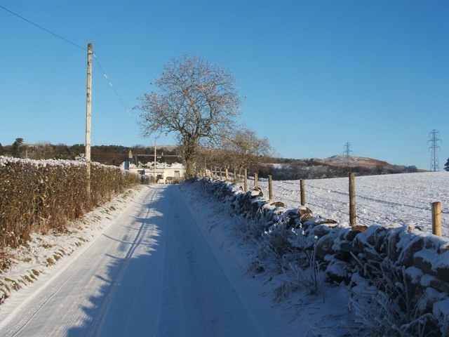
Image: © Lairich Rig Taken: 23 Dec 2010
The farm itself, which is shown in Image, is visible not far ahead, but is located in the adjacent grid square to the north. See Image for a discussion of the area now occupied by High and Low Milndovan Farm, as depicted on various early maps.
Images are licensed for reuse under creativecommons.org/licenses/by-sa/2.0
Image Location
Latitude
55.975639
Longitude
-4.632959