The crossroads of the A682 and A646
Introduction
The photograph on this page of The crossroads of the A682 and A646 by Bill Boaden as part of the Geograph project.
The Geograph project started in 2005 with the aim of publishing, organising and preserving representative images for every square kilometre of Great Britain, Ireland and the Isle of Man.

There are currently over 7.5m images from over 14,400 individuals and you can help contribute to the project by visiting https://www.geograph.org.uk
The crossroads of the A682 and A646
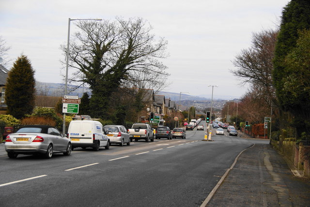
Image: © Bill Boaden Taken: 2 Jan 2011
The A682 continues down the hill into Burnley, while the A646 is the southern ringroad.
Images are licensed for reuse under creativecommons.org/licenses/by-sa/2.0
Image Location
Latitude
53.773622
Longitude
-2.257145