Lewes, Sussex
Introduction
The photograph on this page of Lewes, Sussex by Peter Trimming as part of the Geograph project.
The Geograph project started in 2005 with the aim of publishing, organising and preserving representative images for every square kilometre of Great Britain, Ireland and the Isle of Man.

There are currently over 7.5m images from over 14,400 individuals and you can help contribute to the project by visiting https://www.geograph.org.uk
Lewes, Sussex
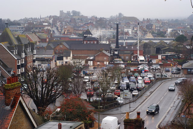
Image: © Peter Trimming Taken: 29 Dec 2010
View over the town, in the direction of Lewes Castle. Harveys Brewery can be seen, in the middle of picture. Photograph taken from the road which leads to Cuilfail.
Images are licensed for reuse under creativecommons.org/licenses/by-sa/2.0
Image Location
Latitude
50.875251
Longitude
0.01976