Moses Gate Country Park
Introduction
The photograph on this page of Moses Gate Country Park by David Dixon as part of the Geograph project.
The Geograph project started in 2005 with the aim of publishing, organising and preserving representative images for every square kilometre of Great Britain, Ireland and the Isle of Man.

There are currently over 7.5m images from over 14,400 individuals and you can help contribute to the project by visiting https://www.geograph.org.uk
Moses Gate Country Park
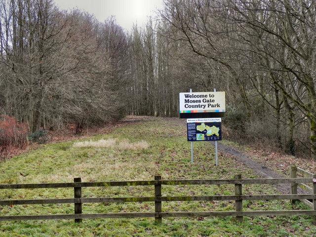
Image: © David Dixon Taken: 2 Jan 2011
The northern access to Moses Gate Country Park, following the former course of the Manchester, Bolton & Bury Canal, at Smithy Bridge.
Images are licensed for reuse under creativecommons.org/licenses/by-sa/2.0
Image Location
Latitude
53.568536
Longitude
-2.398936