Barrs Road
Introduction
The photograph on this page of Barrs Road by Lairich Rig as part of the Geograph project.
The Geograph project started in 2005 with the aim of publishing, organising and preserving representative images for every square kilometre of Great Britain, Ireland and the Isle of Man.

There are currently over 7.5m images from over 14,400 individuals and you can help contribute to the project by visiting https://www.geograph.org.uk
Barrs Road
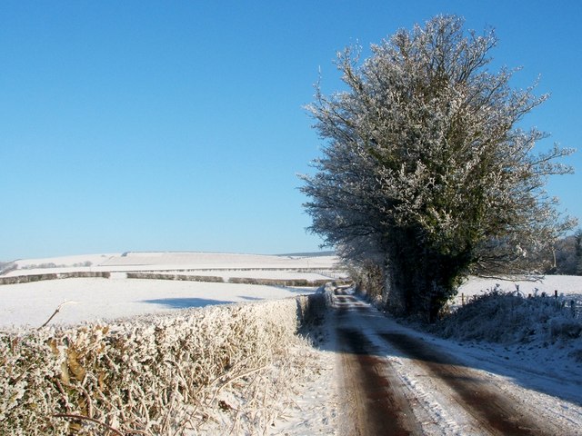
Image: © Lairich Rig Taken: 23 Dec 2010
The road passes Image and Image, and a few other buildings (see, for example, Image); it ends at Cairniedrouth Farm (see Image for a distant view of that farm). This farm road is a continuation of Image; the photograph was taken from the junction of Barrs Road and Image As for the name of the road, there used to be a Barrs Farm, close to the point from which the photograph was taken. It is shown on the first-edition OS map of c.1860, at around Image It appears as "Barr" on Ainslie's 1821 map. There is an entry in the 1797-98 Farm Horse Tax Rolls for Mr John Gray of Barrs. In connection with the same tenant of the farm (whose surname is spelled "Grey" below), some curious details are supplied by David Murray in his book "Old Cardross" (1880). When discussing local agriculture, the author mentions that the cultivation of turnips "travelled northwards very slowly, and in 1774 Lord Stonefield could not get his tenants in the Vale of Leven to take it up even for a premium, while twenty years later about 24 acres contained all the turnip husbandry of Dumbartonshire. One of the earliest who attempted it was Sheriff Grey; about 1790 he introduced a drill plough for turnips which was the first that was used in the county". For a view back along the same straight section of road, from its far end, see Image
Images are licensed for reuse under creativecommons.org/licenses/by-sa/2.0
Image Location
Latitude
55.96908
Longitude
-4.653829