Misty evening, Norwood triangle
Introduction
The photograph on this page of Misty evening, Norwood triangle by Christopher Hilton as part of the Geograph project.
The Geograph project started in 2005 with the aim of publishing, organising and preserving representative images for every square kilometre of Great Britain, Ireland and the Isle of Man.

There are currently over 7.5m images from over 14,400 individuals and you can help contribute to the project by visiting https://www.geograph.org.uk
Misty evening, Norwood triangle
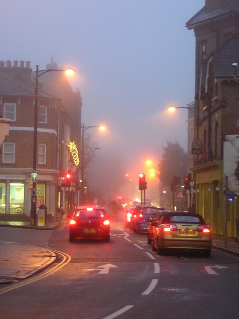
Image: © Christopher Hilton Taken: 30 Dec 2010
The junction shown here is the southern point of the Norwood triangle; Church Road leads on southwards to the parish church at the south end of the hill.
Images are licensed for reuse under creativecommons.org/licenses/by-sa/2.0
Image Location
Latitude
51.416991
Longitude
-0.081286