The Green, Kaber
Introduction
The photograph on this page of The Green, Kaber by Stephen McKay as part of the Geograph project.
The Geograph project started in 2005 with the aim of publishing, organising and preserving representative images for every square kilometre of Great Britain, Ireland and the Isle of Man.

There are currently over 7.5m images from over 14,400 individuals and you can help contribute to the project by visiting https://www.geograph.org.uk
The Green, Kaber
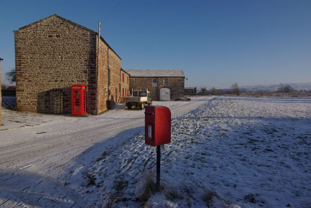
Image: © Stephen McKay Taken: 24 Dec 2010
Despite the blue sky, the temperature was well below zero here in this Belah Valley hamlet on Christmas Eve.
Images are licensed for reuse under creativecommons.org/licenses/by-sa/2.0
Image Location
Latitude
54.498956
Longitude
-2.314025