Hawthorn Avenue
Introduction
The photograph on this page of Hawthorn Avenue by Lairich Rig as part of the Geograph project.
The Geograph project started in 2005 with the aim of publishing, organising and preserving representative images for every square kilometre of Great Britain, Ireland and the Isle of Man.

There are currently over 7.5m images from over 14,400 individuals and you can help contribute to the project by visiting https://www.geograph.org.uk
Hawthorn Avenue
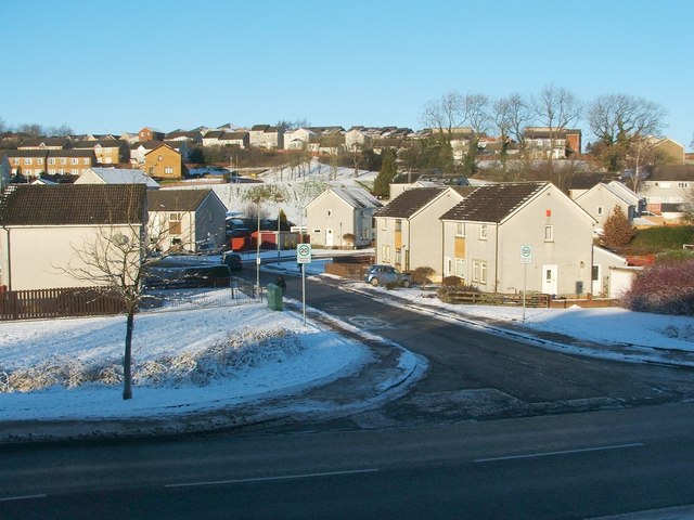
Image: © Lairich Rig Taken: 24 Dec 2010
Cardross Road runs across the image from left to right in the foreground. The road branching off from it is Hawthorn Avenue. The elevated viewpoint for this photograph was the top of a slope in front of neighbouring Westcliff.
Images are licensed for reuse under creativecommons.org/licenses/by-sa/2.0
Image Location
Latitude
55.949326
Longitude
-4.602338