Borders Abbeys Way near Brownmoor farm
Introduction
The photograph on this page of Borders Abbeys Way near Brownmoor farm by Jim Barton as part of the Geograph project.
The Geograph project started in 2005 with the aim of publishing, organising and preserving representative images for every square kilometre of Great Britain, Ireland and the Isle of Man.

There are currently over 7.5m images from over 14,400 individuals and you can help contribute to the project by visiting https://www.geograph.org.uk
Borders Abbeys Way near Brownmoor farm
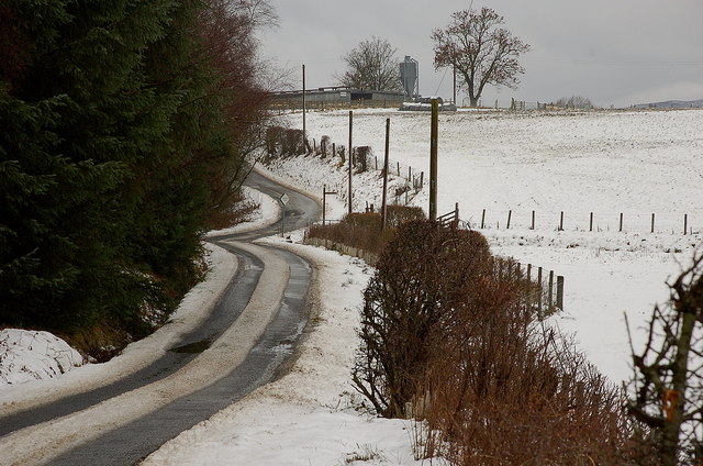
Image: © Jim Barton Taken: 30 Dec 2010
The signpost marks the point where the Way from Selkirk meets this minor road which it follows westwards for about 1km before branching off at Middlestead.
Images are licensed for reuse under creativecommons.org/licenses/by-sa/2.0
Image Location


Leaflet Map data © OpenStreetMap
Latitude
55.530353
Longitude
-2.850851