Footpath from Gadbrook House to Gadbrook Farm
Introduction
The photograph on this page of Footpath from Gadbrook House to Gadbrook Farm by Ian Capper as part of the Geograph project.
The Geograph project started in 2005 with the aim of publishing, organising and preserving representative images for every square kilometre of Great Britain, Ireland and the Isle of Man.

There are currently over 7.5m images from over 14,400 individuals and you can help contribute to the project by visiting https://www.geograph.org.uk
Footpath from Gadbrook House to Gadbrook Farm
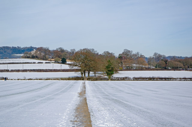
Image: © Ian Capper Taken: 26 Dec 2010
Presumably a longstanding route, leading as it does from "the house" to "the farm". In the far distance are the North Downs, with the former Betchworth Quarry visible on the left. The snow on the ground is from a fall a week previously.
Images are licensed for reuse under creativecommons.org/licenses/by-sa/2.0
Image Location
Latitude
51.221585
Longitude
-0.268688