Gas Bottle Barrier
Introduction
The photograph on this page of Gas Bottle Barrier by Michael Patterson as part of the Geograph project.
The Geograph project started in 2005 with the aim of publishing, organising and preserving representative images for every square kilometre of Great Britain, Ireland and the Isle of Man.

There are currently over 7.5m images from over 14,400 individuals and you can help contribute to the project by visiting https://www.geograph.org.uk
Gas Bottle Barrier
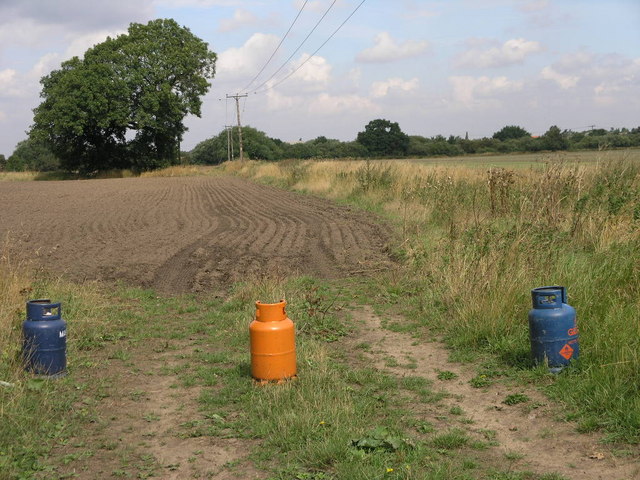
Image: © Michael Patterson Taken: 16 Aug 2006
These gas bottles appear to be acting as some sort of barrier to this field. A footpath runs by the side of the blue bottle to the right and across the edge of the field to the River Idle barrier bank.
Images are licensed for reuse under creativecommons.org/licenses/by-sa/2.0
Image Location
Latitude
53.43646
Longitude
-0.961314