The A5199
Introduction
The photograph on this page of The A5199 by Kokai as part of the Geograph project.
The Geograph project started in 2005 with the aim of publishing, organising and preserving representative images for every square kilometre of Great Britain, Ireland and the Isle of Man.

There are currently over 7.5m images from over 14,400 individuals and you can help contribute to the project by visiting https://www.geograph.org.uk
The A5199
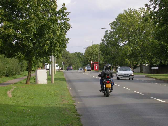
Image: © Kokai Taken: 15 Aug 2006
This road joins the A508 in Kingsthorpe. The red structure is a bus shelter.
Images are licensed for reuse under creativecommons.org/licenses/by-sa/2.0
Image Location
Latitude
52.270985
Longitude
-0.916953