Countryside near Corscombe
Introduction
The photograph on this page of Countryside near Corscombe by Nigel Mykura as part of the Geograph project.
The Geograph project started in 2005 with the aim of publishing, organising and preserving representative images for every square kilometre of Great Britain, Ireland and the Isle of Man.

There are currently over 7.5m images from over 14,400 individuals and you can help contribute to the project by visiting https://www.geograph.org.uk
Countryside near Corscombe
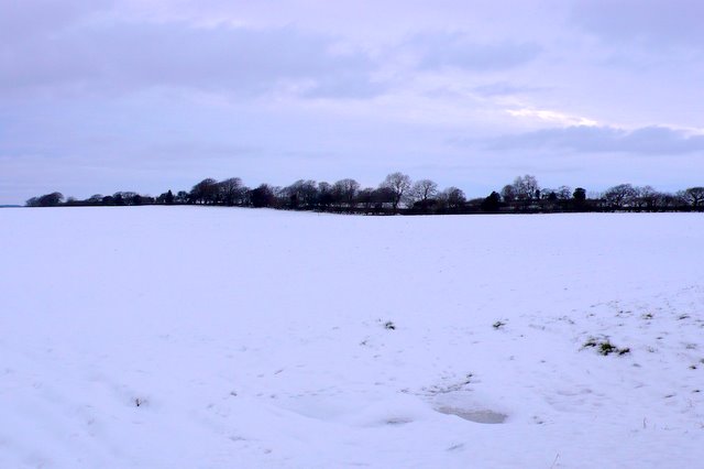
Image: © Nigel Mykura Taken: 26 Dec 2010
View west from close to the cross roads on the A356. Only the foreground is in ST5104 as this is very close to the grid line. This was taken from the lane running to Hill Farm which is in ST5003. the trees in the distance are on the minor road from Corscombe to Beaminster Down.
Images are licensed for reuse under creativecommons.org/licenses/by-sa/2.0
Image Location
Latitude
50.834707
Longitude
-2.696906