Toller Down
Introduction
The photograph on this page of Toller Down by Nigel Mykura as part of the Geograph project.
The Geograph project started in 2005 with the aim of publishing, organising and preserving representative images for every square kilometre of Great Britain, Ireland and the Isle of Man.

There are currently over 7.5m images from over 14,400 individuals and you can help contribute to the project by visiting https://www.geograph.org.uk
Toller Down
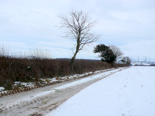
Image: © Nigel Mykura Taken: 26 Dec 2010
View east along a farm track close to the B3163. In the distance are the Rampisham shortwave radio masts.
Images are licensed for reuse under creativecommons.org/licenses/by-sa/2.0
Image Location


Leaflet Map data © OpenStreetMap
Latitude
50.821533
Longitude
-2.673853