The start of The Rough
Introduction
The photograph on this page of The start of The Rough by P L Chadwick as part of the Geograph project.
The Geograph project started in 2005 with the aim of publishing, organising and preserving representative images for every square kilometre of Great Britain, Ireland and the Isle of Man.

There are currently over 7.5m images from over 14,400 individuals and you can help contribute to the project by visiting https://www.geograph.org.uk
The start of The Rough
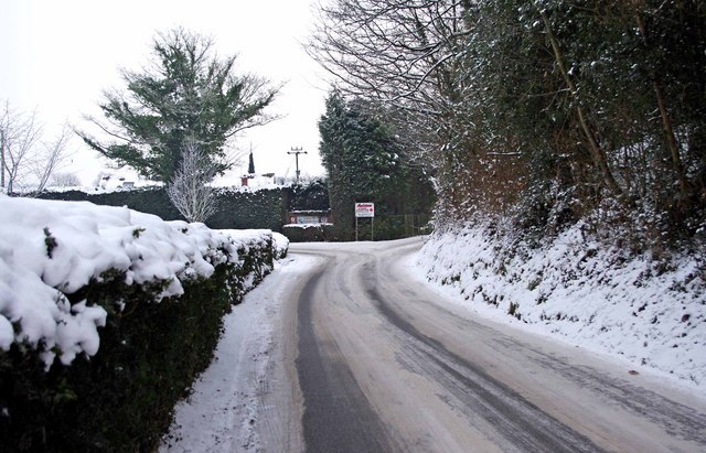
Image: © P L Chadwick Taken: 26 Dec 2010
The Rough is a long lane which leads to a couple of caravan parks. Here it is near its commencement, at a junction with Dunley Road (the A451). In the distance is a fork. The left branch is quite short and leads to one of the parks. The fork on the right is much longer and leads to the other. Image
Images are licensed for reuse under creativecommons.org/licenses/by-sa/2.0
Image Location
Latitude
52.334489
Longitude
-2.285839