Buttons Mead/Harris Mead
Introduction
The photograph on this page of Buttons Mead/Harris Mead by Simon Carey as part of the Geograph project.
The Geograph project started in 2005 with the aim of publishing, organising and preserving representative images for every square kilometre of Great Britain, Ireland and the Isle of Man.

There are currently over 7.5m images from over 14,400 individuals and you can help contribute to the project by visiting https://www.geograph.org.uk
Buttons Mead/Harris Mead
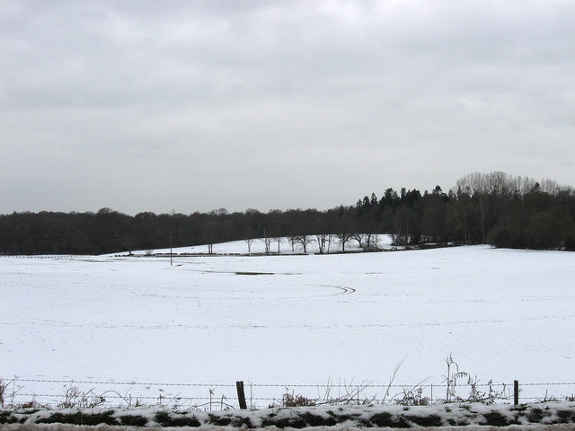
Image: © Simon Carey Taken: 23 Dec 2010
The name of the fields according to the 1838 tithe map that have been amalgamated to make a larger modern field. The joining together has only occurred in the last thirty years. Buttons Mead is in the foreground and thus in this square, Harris Mead is beyond and is in TQ3820. Bineham Wood is to the left and Beggars Wood is on the right.
Images are licensed for reuse under creativecommons.org/licenses/by-sa/2.0
Image Location
Latitude
50.965809
Longitude
-0.02189