Kirkcaldy from the air
Introduction
The photograph on this page of Kirkcaldy from the air by Thomas Nugent as part of the Geograph project.
The Geograph project started in 2005 with the aim of publishing, organising and preserving representative images for every square kilometre of Great Britain, Ireland and the Isle of Man.

There are currently over 7.5m images from over 14,400 individuals and you can help contribute to the project by visiting https://www.geograph.org.uk
Kirkcaldy from the air
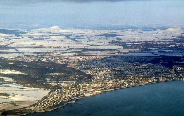
Image: © Thomas Nugent Taken: 22 Dec 2010
As seen from a flight from Prague which is making the final turn over the Firth of Forth on the approach to Edinburgh Airport.
Images are licensed for reuse under creativecommons.org/licenses/by-sa/2.0
Image Location
Latitude
56.10175
Longitude
-3.167102