Path junction by the M61
Introduction
The photograph on this page of Path junction by the M61 by Bill Boaden as part of the Geograph project.
The Geograph project started in 2005 with the aim of publishing, organising and preserving representative images for every square kilometre of Great Britain, Ireland and the Isle of Man.

There are currently over 7.5m images from over 14,400 individuals and you can help contribute to the project by visiting https://www.geograph.org.uk
Path junction by the M61
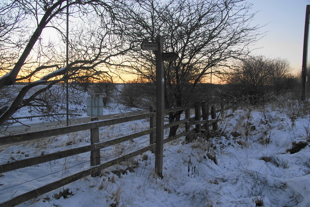
Image: © Bill Boaden Taken: 24 Dec 2010
A sliproad off the Kearsley Spur of the M61 is the nearest road to the left. Paths are hard to discern in the snow, but you follow where everyone else has been.
Images are licensed for reuse under creativecommons.org/licenses/by-sa/2.0
Image Location
Latitude
53.532503
Longitude
-2.379241