Where's the church?
Introduction
The photograph on this page of Where's the church? by Stephen Craven as part of the Geograph project.
The Geograph project started in 2005 with the aim of publishing, organising and preserving representative images for every square kilometre of Great Britain, Ireland and the Isle of Man.

There are currently over 7.5m images from over 14,400 individuals and you can help contribute to the project by visiting https://www.geograph.org.uk
Where's the church?
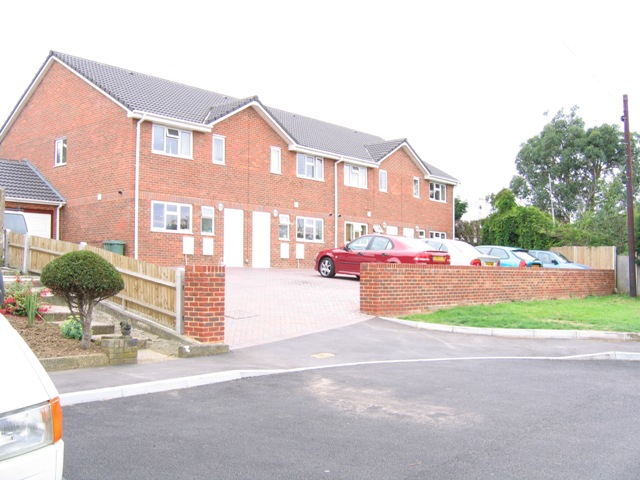
Image: © Stephen Craven Taken: 13 Aug 2005
A sign at the end of Gravelwood Close (cul-de-sac) still points to St Aidan's church, but it was demolished a few years ago and replaced by these nondescript houses.
Images are licensed for reuse under creativecommons.org/licenses/by-sa/2.0
Image Location
Latitude
51.429943
Longitude
0.071749