Footpath from A334 to Silford Copse, Curdridge
Introduction
The photograph on this page of Footpath from A334 to Silford Copse, Curdridge by Peter Facey as part of the Geograph project.
The Geograph project started in 2005 with the aim of publishing, organising and preserving representative images for every square kilometre of Great Britain, Ireland and the Isle of Man.

There are currently over 7.5m images from over 14,400 individuals and you can help contribute to the project by visiting https://www.geograph.org.uk
Footpath from A334 to Silford Copse, Curdridge
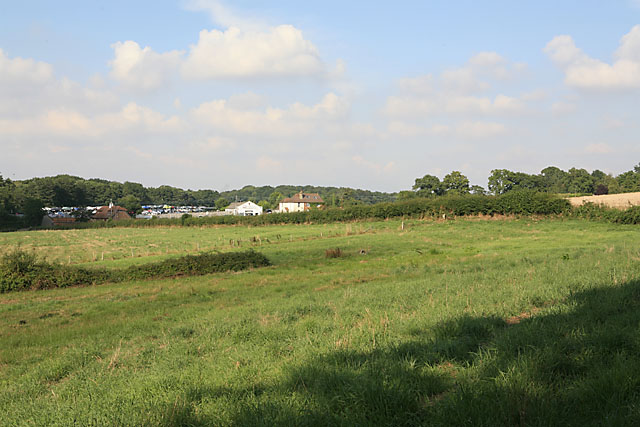
Image: © Peter Facey Taken: 16 Aug 2006
The footpath runs through this field and along the line of the hedge to the A334 which runs left to right in front of the buildings. In background is Silverlake Garage which has a massive dump of old cars piled high behind it.
Images are licensed for reuse under creativecommons.org/licenses/by-sa/2.0
Image Location
Latitude
50.916474
Longitude
-1.234626