Tinkers
Introduction
The photograph on this page of Tinkers by Simon Carey as part of the Geograph project.
The Geograph project started in 2005 with the aim of publishing, organising and preserving representative images for every square kilometre of Great Britain, Ireland and the Isle of Man.

There are currently over 7.5m images from over 14,400 individuals and you can help contribute to the project by visiting https://www.geograph.org.uk
Tinkers
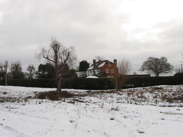
Image: © Simon Carey Taken: 23 Dec 2010
Viewed from Pound Common and formerly known as Wildfields Farm parts of the building date from the 17th century with the west wing in view added in the 18th. One of many farms or former farms lining the edge of the common.
Images are licensed for reuse under creativecommons.org/licenses/by-sa/2.0
Image Location
Latitude
50.967098
Longitude
-0.039638