The Lower or Western Dyffryn Cromlech
Introduction
The photograph on this page of The Lower or Western Dyffryn Cromlech by Eric Jones as part of the Geograph project.
The Geograph project started in 2005 with the aim of publishing, organising and preserving representative images for every square kilometre of Great Britain, Ireland and the Isle of Man.

There are currently over 7.5m images from over 14,400 individuals and you can help contribute to the project by visiting https://www.geograph.org.uk
The Lower or Western Dyffryn Cromlech
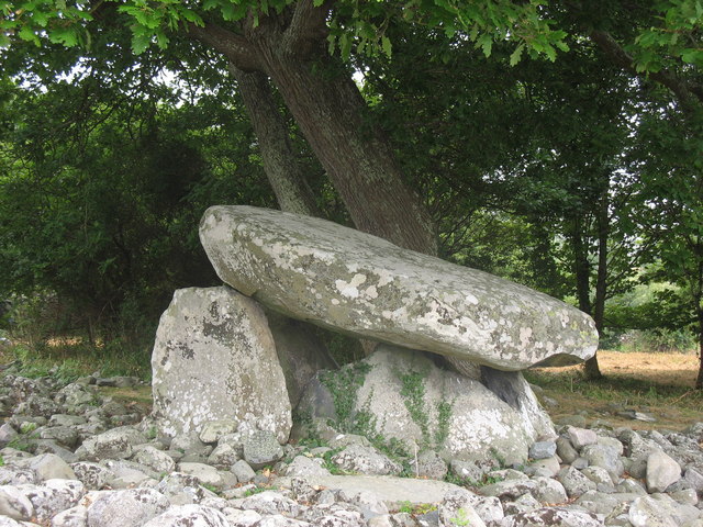
Image: © Eric Jones Taken: 20 Jul 2006
Dates from between 3000 and 4000 years BC. The capstone is supported by six uprights, and is almost 3m long and 2m broad
Images are licensed for reuse under creativecommons.org/licenses/by-sa/2.0
Image Location


Leaflet Map data © OpenStreetMap
Latitude
52.785178
Longitude
-4.093641