Masonic Hall
Introduction
The photograph on this page of Masonic Hall by Jonathan Kington as part of the Geograph project.
The Geograph project started in 2005 with the aim of publishing, organising and preserving representative images for every square kilometre of Great Britain, Ireland and the Isle of Man.

There are currently over 7.5m images from over 14,400 individuals and you can help contribute to the project by visiting https://www.geograph.org.uk
Masonic Hall
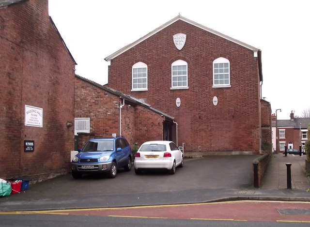
Image: © Jonathan Kington Taken: 15 Dec 2010
Built in 1878, the Masonic Hall is located on Mill Street. The front entrance is just in front of the white car, near the bottom of the brickwork and just to the right of that car is an Ordnance Survey flush bracket (Image). This was also the site of the original United Reformed Church before it was moved to Antrobus Street (Image).
Images are licensed for reuse under creativecommons.org/licenses/by-sa/2.0
Image Location
Latitude
53.165366
Longitude
-2.214153