Pillbox near Upper Rowling Farm
Introduction
The photograph on this page of Pillbox near Upper Rowling Farm by David Anstiss as part of the Geograph project.
The Geograph project started in 2005 with the aim of publishing, organising and preserving representative images for every square kilometre of Great Britain, Ireland and the Isle of Man.

There are currently over 7.5m images from over 14,400 individuals and you can help contribute to the project by visiting https://www.geograph.org.uk
Pillbox near Upper Rowling Farm
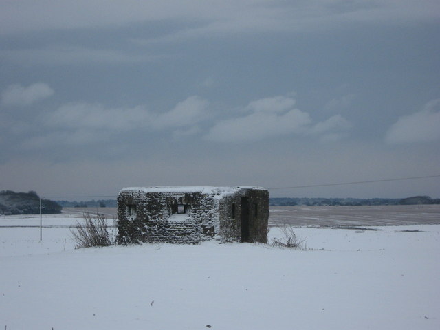
Image: © David Anstiss Taken: 19 Dec 2010
As seen from a footpath from Summerfield Farm to the Upper Rowling Farm. View towards Eastry which is in the background.
Images are licensed for reuse under creativecommons.org/licenses/by-sa/2.0
Image Location
Latitude
51.248279
Longitude
1.256752