Tumulus to the left
Introduction
The photograph on this page of Tumulus to the left by Martin Dawes as part of the Geograph project.
The Geograph project started in 2005 with the aim of publishing, organising and preserving representative images for every square kilometre of Great Britain, Ireland and the Isle of Man.

There are currently over 7.5m images from over 14,400 individuals and you can help contribute to the project by visiting https://www.geograph.org.uk
Tumulus to the left
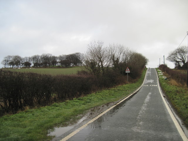
Image: © Martin Dawes Taken: 15 Dec 2009
The minor road from Hunmanby Gap climbs this hill toward the A165. In the field to the left the trees mark a Tumulus. On the brow of the hill to the right is Moor Farm.
Images are licensed for reuse under creativecommons.org/licenses/by-sa/2.0
Image Location
Latitude
54.175187
Longitude
-0.276737