Path to Millburn Muir
Introduction
The photograph on this page of Path to Millburn Muir by Lairich Rig as part of the Geograph project.
The Geograph project started in 2005 with the aim of publishing, organising and preserving representative images for every square kilometre of Great Britain, Ireland and the Isle of Man.

There are currently over 7.5m images from over 14,400 individuals and you can help contribute to the project by visiting https://www.geograph.org.uk
Path to Millburn Muir
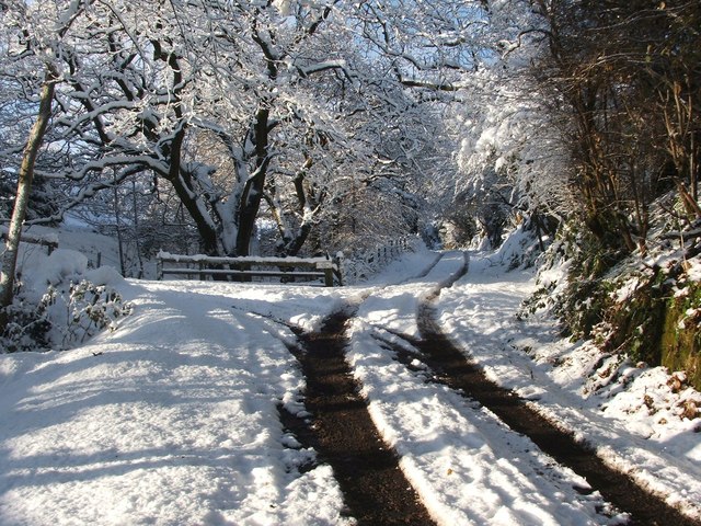
Image: © Lairich Rig Taken: 30 Nov 2010
This is the view from just a little further along the track that is shown in Image The turning to the left, which is for High Millburn Farm, is now more clearly visible. The route of the core path continues straight ahead. Previous: Image Next: Image
Images are licensed for reuse under creativecommons.org/licenses/by-sa/2.0
Image Location
Latitude
55.980418
Longitude
-4.589839