Seventh Day Adventist Church, Devonshire Drive
Introduction
The photograph on this page of Seventh Day Adventist Church, Devonshire Drive by Stephen Craven as part of the Geograph project.
The Geograph project started in 2005 with the aim of publishing, organising and preserving representative images for every square kilometre of Great Britain, Ireland and the Isle of Man.

There are currently over 7.5m images from over 14,400 individuals and you can help contribute to the project by visiting https://www.geograph.org.uk
Seventh Day Adventist Church, Devonshire Drive
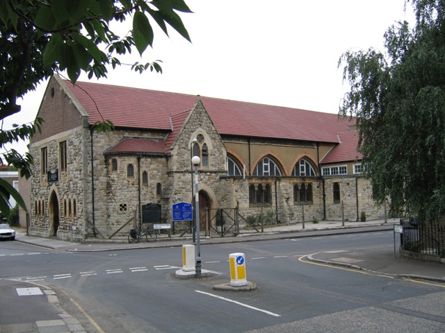
Image: © Stephen Craven Taken: 26 Jul 2005
Built as St Paul's Anglican Church 1866, closed in 1978 and since used by other denominations (Wesleyan, Calvary Church and presently Seventh Day Adventist).
Images are licensed for reuse under creativecommons.org/licenses/by-sa/2.0
Image Location
Latitude
51.475361
Longitude
-0.016916