View of two bridges across a field, Beachley
Introduction
The photograph on this page of View of two bridges across a field, Beachley by Jaggery as part of the Geograph project.
The Geograph project started in 2005 with the aim of publishing, organising and preserving representative images for every square kilometre of Great Britain, Ireland and the Isle of Man.

There are currently over 7.5m images from over 14,400 individuals and you can help contribute to the project by visiting https://www.geograph.org.uk
View of two bridges across a field, Beachley
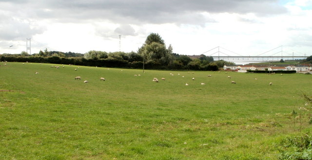
Image: © Jaggery Taken: 17 Sep 2010
Sheep graze in a field viewed from the west side of Beachley Road, near the entrance to Severn Bridge Park. http://www.geograph.org.uk/photo/2201859 Beyond the field are two bridges : the M48 Wye Bridge http://www.geograph.org.uk/photo/1976276 on the right and a tower of the older (1966) Severn Bridge on the left. http://www.geograph.org.uk/photo/1743453
Images are licensed for reuse under creativecommons.org/licenses/by-sa/2.0
Image Location
Latitude
51.625882
Longitude
-2.655803