Building on the west side of Beachley Road
Introduction
The photograph on this page of Building on the west side of Beachley Road by Jaggery as part of the Geograph project.
The Geograph project started in 2005 with the aim of publishing, organising and preserving representative images for every square kilometre of Great Britain, Ireland and the Isle of Man.

There are currently over 7.5m images from over 14,400 individuals and you can help contribute to the project by visiting https://www.geograph.org.uk
Building on the west side of Beachley Road
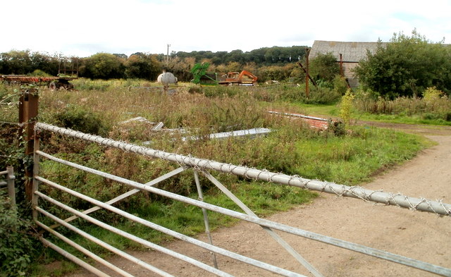
Image: © Jaggery Taken: 17 Sep 2010
Looped barbed wire lines the top bar of the entrance gate to a field on the west side of Beachley Road near the northern edge of Beachley. My first thought was that this was part of a farm, but a correspondent has since informed me that it was once the site of the railway line for the old Beachley shipyard and later the army camp. The building was formerly used for the line. Later, a riding school was based here.
Images are licensed for reuse under creativecommons.org/licenses/by-sa/2.0
Image Location
Latitude
51.629471
Longitude
-2.6573