Kirby Lane, Newport
Introduction
The photograph on this page of Kirby Lane, Newport by Jaggery as part of the Geograph project.
The Geograph project started in 2005 with the aim of publishing, organising and preserving representative images for every square kilometre of Great Britain, Ireland and the Isle of Man.

There are currently over 7.5m images from over 14,400 individuals and you can help contribute to the project by visiting https://www.geograph.org.uk
Kirby Lane, Newport
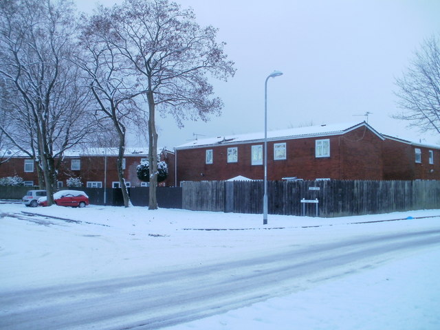
Image: © Jaggery Taken: 17 Dec 2010
Housing on the corner of Kirby Lane and Alma Street. Kirby Lane contains houses and flats. The properties are numbered between 316 and 336, part of a sequence shared with nearby streets built at about the same time.
Images are licensed for reuse under creativecommons.org/licenses/by-sa/2.0
Image Location
Latitude
51.578533
Longitude
-2.9957