Droridge Lane
Introduction
The photograph on this page of Droridge Lane by Derek Harper as part of the Geograph project.
The Geograph project started in 2005 with the aim of publishing, organising and preserving representative images for every square kilometre of Great Britain, Ireland and the Isle of Man.

There are currently over 7.5m images from over 14,400 individuals and you can help contribute to the project by visiting https://www.geograph.org.uk
Droridge Lane
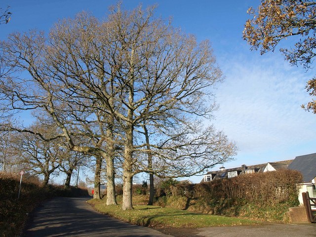
Image: © Derek Harper Taken: 14 Dec 2010
The lane, between Redlake and Lounard Crosses, forms the boundary between open countryside and the built-up area of Cott. A row of trees line the wide verge here.
Images are licensed for reuse under creativecommons.org/licenses/by-sa/2.0
Image Location
Latitude
50.44236
Longitude
-3.71188