Garshake Terrace, Bellsmyre
Introduction
The photograph on this page of Garshake Terrace, Bellsmyre by Lairich Rig as part of the Geograph project.
The Geograph project started in 2005 with the aim of publishing, organising and preserving representative images for every square kilometre of Great Britain, Ireland and the Isle of Man.

There are currently over 7.5m images from over 14,400 individuals and you can help contribute to the project by visiting https://www.geograph.org.uk
Garshake Terrace, Bellsmyre
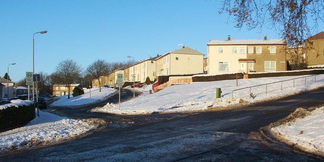
Image: © Lairich Rig Taken: 2 Dec 2010
Garshake Terrace is the street receding in the left-hand side of the image. In the foreground, Garshake Road leads uphill from the lower-left corner of the photo. (For more on the name Garshake, see Image; that street is the next one up, after Garshake Terrace.) Visible near the lower-right corner is part of the road of McGregor Drive, in High Overtoun.
Images are licensed for reuse under creativecommons.org/licenses/by-sa/2.0
Image Location
Latitude
55.950436
Longitude
-4.544905