River Teign at Chudleigh Knighton
Introduction
The photograph on this page of River Teign at Chudleigh Knighton by Derek Harper as part of the Geograph project.
The Geograph project started in 2005 with the aim of publishing, organising and preserving representative images for every square kilometre of Great Britain, Ireland and the Isle of Man.

There are currently over 7.5m images from over 14,400 individuals and you can help contribute to the project by visiting https://www.geograph.org.uk
River Teign at Chudleigh Knighton
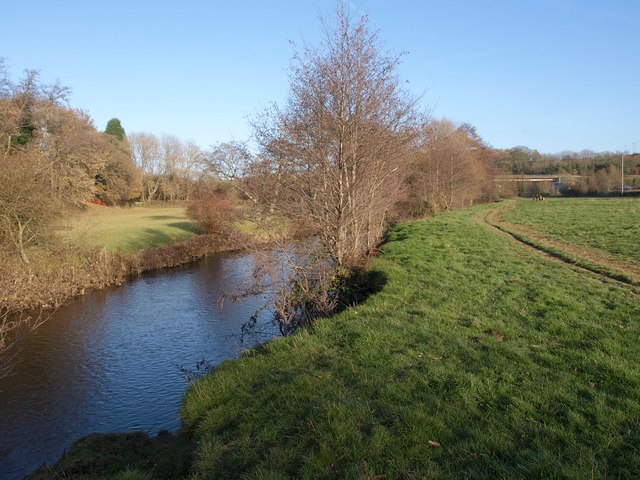
Image: © Derek Harper Taken: 12 Dec 2010
Like Image, a view upstream from the partly undercut riverbank near Kingsteignton Footpath 6 (the line of the path officially runs along the foot of the A38 embankment, but I can't imagine anyone would walk there in preference to the delightful riverside). Alders are showing a chocolate-brown as their catkins come out.
Images are licensed for reuse under creativecommons.org/licenses/by-sa/2.0
Image Location
Latitude
50.584612
Longitude
-3.626062