Houses and the Blue Boar, Thornton
Introduction
The photograph on this page of Houses and the Blue Boar, Thornton by Humphrey Bolton as part of the Geograph project.
The Geograph project started in 2005 with the aim of publishing, organising and preserving representative images for every square kilometre of Great Britain, Ireland and the Isle of Man.

There are currently over 7.5m images from over 14,400 individuals and you can help contribute to the project by visiting https://www.geograph.org.uk
Houses and the Blue Boar, Thornton
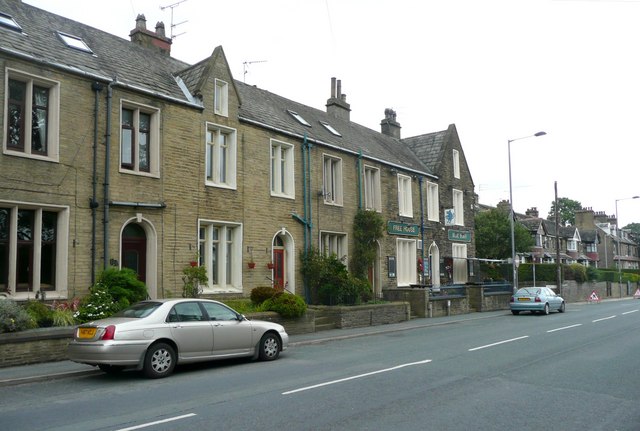
Image: © Humphrey Bolton Taken: 20 Aug 2010
As can be seen, the public house occupies the end house of the row (possibly two houses).
Images are licensed for reuse under creativecommons.org/licenses/by-sa/2.0
Image Location
Latitude
53.789619
Longitude
-1.846658