Crummock Gardens, Beith
Introduction
The photograph on this page of Crummock Gardens, Beith by wfmillar as part of the Geograph project.
The Geograph project started in 2005 with the aim of publishing, organising and preserving representative images for every square kilometre of Great Britain, Ireland and the Isle of Man.

There are currently over 7.5m images from over 14,400 individuals and you can help contribute to the project by visiting https://www.geograph.org.uk
Crummock Gardens, Beith
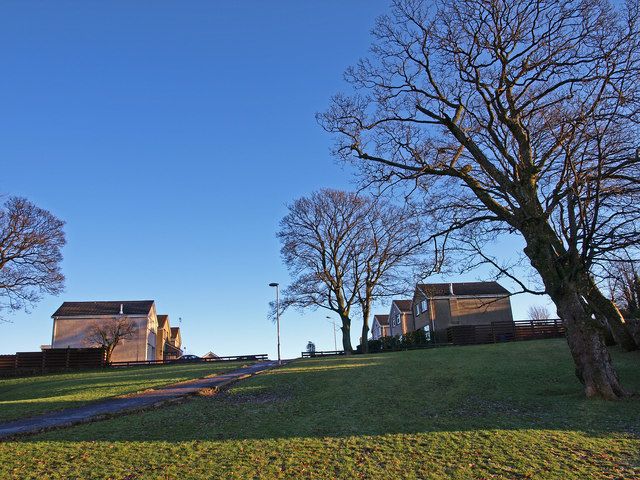
Image: © wfmillar Taken: 16 Dec 2010
Crummock House was demolished in 1960s and a housing estate built. Some trees and green areas saved.
Images are licensed for reuse under creativecommons.org/licenses/by-sa/2.0
Image Location
Latitude
55.753121
Longitude
-4.627183