Queen Victoria Road
Introduction
The photograph on this page of Queen Victoria Road by E Gammie as part of the Geograph project.
The Geograph project started in 2005 with the aim of publishing, organising and preserving representative images for every square kilometre of Great Britain, Ireland and the Isle of Man.

There are currently over 7.5m images from over 14,400 individuals and you can help contribute to the project by visiting https://www.geograph.org.uk
Queen Victoria Road
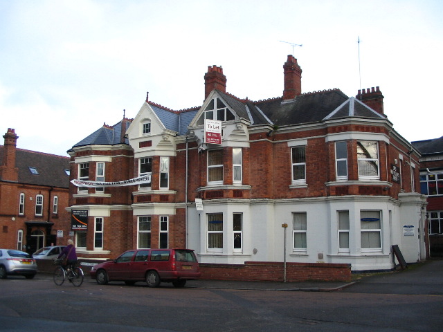
Image: © E Gammie Taken: 15 Dec 2010
Large town houses now used as offices, the last building on Queen Victoria Road before it is terminated by the inner ring road. Context: http://www.geograph.org.uk/photo/2198489
Images are licensed for reuse under creativecommons.org/licenses/by-sa/2.0
Image Location
Latitude
52.404509
Longitude
-1.516065