Longforth
Introduction
The photograph on this page of Longforth by Andy Farrington as part of the Geograph project.
The Geograph project started in 2005 with the aim of publishing, organising and preserving representative images for every square kilometre of Great Britain, Ireland and the Isle of Man.

There are currently over 7.5m images from over 14,400 individuals and you can help contribute to the project by visiting https://www.geograph.org.uk
Longforth
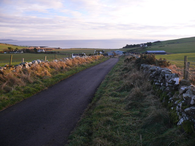
Image: © Andy Farrington Taken: 13 Dec 2010
View along this small road that runs between Glenluce and Auchenmalg. Centre of picture is Longforth Farm, Luce Bay and the Mull of Galloway.
Images are licensed for reuse under creativecommons.org/licenses/by-sa/2.0
Image Location
Latitude
54.836125
Longitude
-4.757879