St Paul's Church, St Stephen's Road, E3
Introduction
The photograph on this page of St Paul's Church, St Stephen's Road, E3 by Robin Webster as part of the Geograph project.
The Geograph project started in 2005 with the aim of publishing, organising and preserving representative images for every square kilometre of Great Britain, Ireland and the Isle of Man.

There are currently over 7.5m images from over 14,400 individuals and you can help contribute to the project by visiting https://www.geograph.org.uk
St Paul's Church, St Stephen's Road, E3
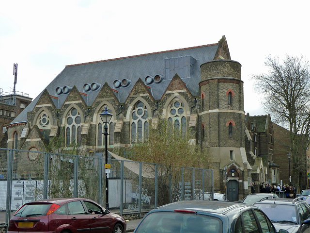
Image: © Robin Webster Taken: 11 Dec 2010
An 1878 church closed in 1991 but re-opened in 2004 after extensive refurbishment. The odd location in another saint's road is because there was once a St Stephen's further down the road. St Stephen's was bombed out of existence. A grade II listed building of 1878.
Images are licensed for reuse under creativecommons.org/licenses/by-sa/2.0
Image Location
Latitude
51.533183
Longitude
-0.03286