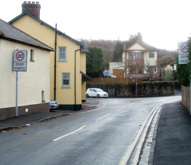
Newport : NW arm of Pillmawr Road approaches 20mph zone
Introduction
The photograph on this page of Newport : NW arm of Pillmawr Road approaches 20mph zone by Jaggery as part of the Geograph project.
The Geograph project started in 2005 with the aim of publishing, organising and preserving representative images for every square kilometre of Great Britain, Ireland and the Isle of Man.
There are currently over 7.5m images from over 14,400 individuals and you can help contribute to the project by visiting https://www.geograph.org.uk

Image: © Jaggery Taken: 11 Dec 2010
The western end of Pillmawr Road splits into a NW arm and a SW arm, each about 150 metres long. They connect with Malpas Road about 230 metres apart. This view is along the NW arm towards the SW arm at their meeting/divergence point opposite the Three Horseshoes. http://www.geograph.org.uk/photo/1899239 The 20mph speed limit applies in the area adjacent to Malpas Church in Wales Junior and Infants School. http://www.geograph.org.uk/photo/2021210

